I got up early and left Fairbanks heading to the Dalton
Highway. I made pretty good time, even with a stop for coffee and some
breakfast.
At the start of the Dalton Hwy is an elevated sign
signifying the start of the road. The elevated sign
was presumably to keep
folks from plastering stickers all over it and defacing it. Somehow, many
travelers are undaunted as the sign is still plastered with stickers from folks
of all walks of life. The town of “Livengood”, yes, you read that correctly. There
is such a place.
From there the weather was ok. The road was in excellent
condition. I endured a few sprinkles here and there all the way up to the Yukon
Crossing at Mile Post 57. I stopped at the visitor’s center and spent some time
looking around and even going to the beach to dip my toe into the Yukon River.
 |
| Yukon River... Beeeutiful |
 |
| Yukon River Crossing |
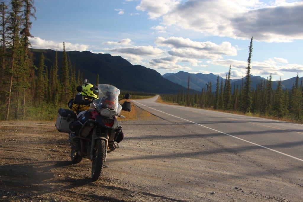
Afterwards I headed north to get gas in Coldfoot. Along
the way I would cross the Arctic Circle and so forth. The weather gods were
being nice and in fact, I got a nice break in the weather as I came upon finger
rock at MP 98. Finger rock sits upon a high plateau above the tundra. It is
rather unique as the ground is not soft and spongy. Lots of granite rocks lie
scattered about for miles and miles. The rocks are pushed up as water freezes
and expands underneath them in a process known as frost heaving. One of the
biggest and most unique of these rocks is Finger Rock. It stands like a beacon
on the plateau and can be seen from many miles away.
 |
| Finger Rock... A beacon on the Tundra |
 |
| Looking North |
 |
| Climbing some rocks |
 |
| Gretchen |
From there, it seemed like a short ride and I arrived at
the Arctic Circle (MP 115). The weather gods were being nice to me. Sunshine
mixed with filtered sunshine was the weather menu for this evening.
From the Arctic Circle, it didn’t take long and I found
myself in Coldfoot another 70 miles or so north. It is here, north of pump station
number 5, where I refueled. I was able to slip in and get in on the
all-you-can-eat buffet. Coldfoot is an oasis out here in the wilderness. I met
a few folks, including some riders coming back from Prudhoe Bay. They said the
ride was wet, cold and rainy.
In fact,
they stated that it was snowing at Atigun Pass. I decided then and there that
I’d only go as far Atigun Pass and then turn around. It was now about 8:00 in
the evening. I left Coldfoot thinking I would ride as far as I could into the
evening sun and then turn around and camp at Marion Creek, a designated
campground about 10 miles or so north of Coldfoot.
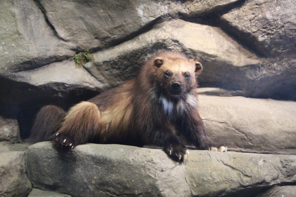
 |
| Arctic Inter agency Visitors Center at Coldfoot |
 |
| Stuffed animals |
 |
| Marion Creeak |
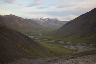
As I made my way north, the sun was shining and the skies
were clear. It was GORGEOUS. I kept riding in the magical light with very
little traffic. I think I saw only 2 trucks for the rest of the evening. The sunlight was splendid. A few miles before milepost
204 I could see Sukapak Mtn and it was a religious experience that I will take
to my grave. I made several stops and had a hard time pulling away from its beauty.
The warm sunshine and the total stillness of the air was incredible.
 |
| Incredible Evening Light |
 |
| Sukapak Mtn |
I slowly made my way to the Deitrich camp and bridge.
Lots and lot so of beauty here in the mountains. Mountains formed of limestone,
pushed up from the ocean to form the Brooks Range. Absolutely stunning. To my
dismay, it looks like they are paving this section of the road. Interesting to
see if it can be maintained with all the frost heaves and such.
I saw a few moose, and before I climbed up to the
Chandalar Shelf, I witnessed 100s of hares on the road. As a result, the birds
of prey were swarming in near locust like fashion. I was wondering if I was to
camp here if I would see wolves coming to feast. I have never personally seen
so many long eared hoppers gathered in such density at one place.
As I rose in elevation, it started to get cold and I
could see dark clouds dissipating. I was told that it was snowing earlier in
this area. Sure enough, the road became
a bit squirrely the higher up I went and fresh snow began appearing. The area just
got a fresh dusting form what I could tell.
At the top of Atigun Pass I had a small celebration and
victory dance. It was now near midnight and I had sunshine missed with dark
clouds. It was quiet and beautiful. My adrenaline was pumping as I hopped on my
bike and went down to the valley on the other side. For a few brief moments I
gave thought to making a run out to Prudhoe bay, or at the very least pulling
in at Galbraith Lake (MP275) and spending the night. However, with the threat
of snow and the greasy road, I turned around and went back to Marion Creek,
about 10 miles north of Coldfoot. I was exhausted but was filled with giddiness
beyond belief on my experience. I believe I made a good choice, as I
encountered bits of drizzle on the way back and the sun gave way to overcast
and clouds. The temperature dropped and I setup camp well past 1:00 am.
 |
| Fresh snow |
 |
| Looking south of Atigun Pass |
 |
| Twin Peaks rising off the Chandalar Shelf |
All tucked into my tent and sleeping bag, I was awakened
by 2 motorcyclist pulling in around 4:00 am. I would find out more about these folks tomorrow…


No comments:
Post a Comment